Land Sales Data
Powered by: Land Sales Bulletin

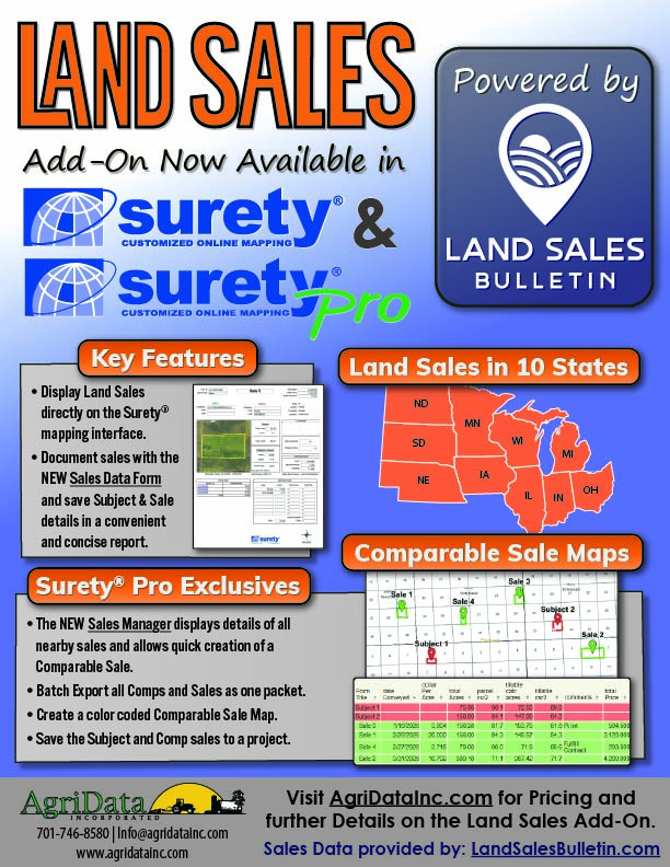
The Land Sales data within the Surety® Mapping interface provides direct access to verified agricultural land sale records from Land Sales Bulletin. This integrated dataset helps users quickly identify and analyze comparable land sales for valuation, appraisal, and market research purposes.
The dataset includes finalized land sale records across 10 Midwestern states including:
This broad regional coverage provides users with a comprehensive view of agricultural land market activity throughout the Midwest.
Visit LandSalesBulletin.com for more information regarding their sale data.
Dedicated "Sales" Map Layer
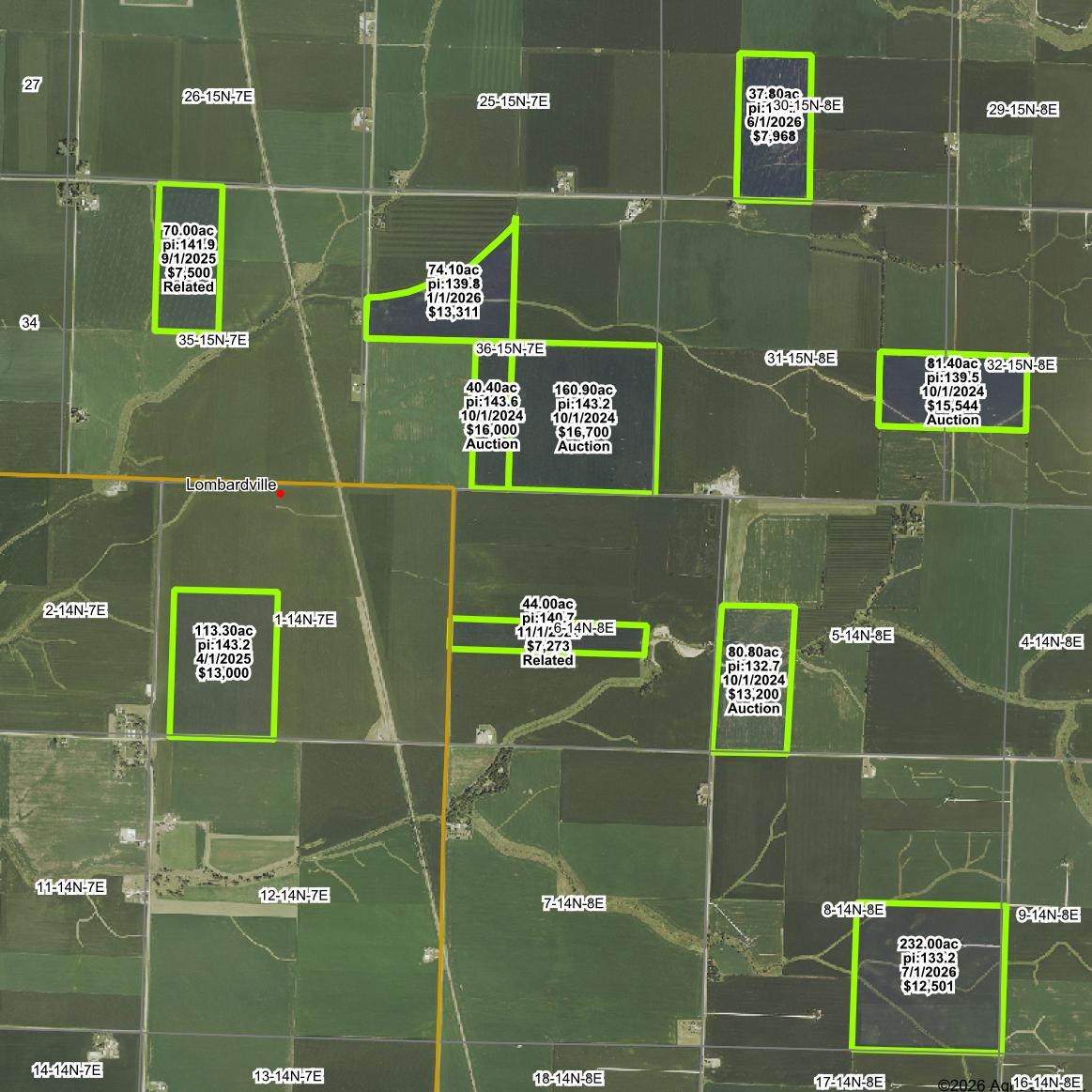
The Sales layer, powered by Land Sales Bulletin data, is available within Surety and Surety Pro. As users navigate the map, sale boundaries automatically appear within the current map view, providing a convenient visual reference for nearby transactions.
This functionality makes it easy to identify potential comparable sales and evaluate surrounding market activity without leaving the mapping environment.
Sales Data Form
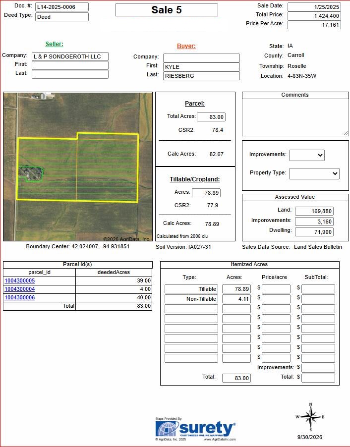
Sales information can be compiled into a robust and easy-to-understand reporting template known as the Sales Data Form. Designed specifically for comparable sales analysis, this report reduces the time and effort required to document and map comparable properties.
The form automatically populates key sale information, helping users create professional, consistent reports with greater efficiency and accuracy.
Sales Manager - Surety® Pro Exclusive
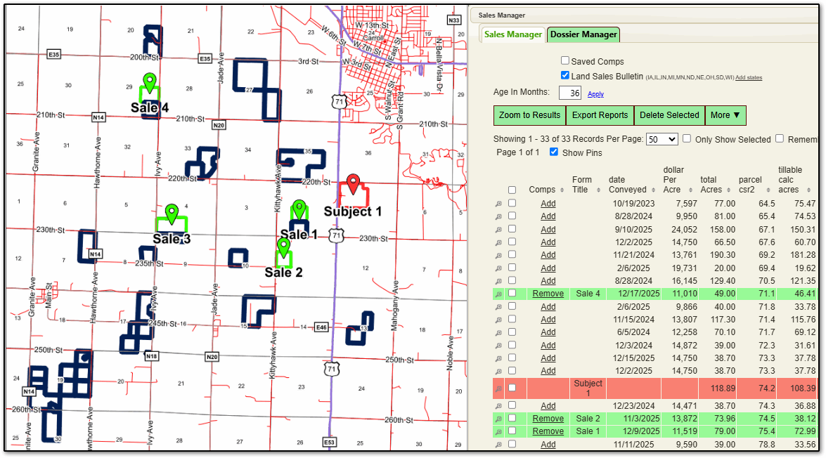
The full value of Land Sales Bulletin data is realized through the powerful Sales Manager, an exclusive feature available in Surety Pro.
Once a subject property has been identified, Sales Manager automatically filters up to two years of nearby sale data based on the property's location. Users can compare sales side-by-side and review critical metrics, including:
- Average Soil Productivity
- Sale Price Per Acre
- Sale Date
- Geographic Proximity
- Additional Sale Characteristics
The Sales Manager allows users to quickly identify, evaluate, and save sales as comparable properties. The system then automatically color-codes and labels the map, clearly distinguishing the Subject Property and selected Comparable Sales, simplifying the appraisal and valuation workflow.
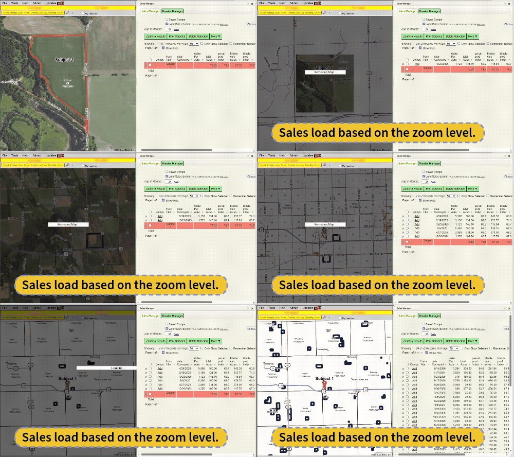
Key Benefits:
- Access verified agricultural land sale data directly within Surety.
- Visualize sale boundaries and nearby transactions on the map.
- Generate professional Sale Data Form reports.
- Identify and filter relevant comparable sales.
- Compare key sale metrics side-by-side.
- Improve efficiency and accuracy in land valuation and appraisal analyses.
Sales Data Demonstration
Contact the AgriData, Inc Support Team today for a demonstration of the Sales layer within Surety® and Surety® Pro Customized Online Mapping Software!
Additional Information:
Visit the Pricing Page
Land Sales Data Flyer
Land Sales Data Provider:
LandSalesBulletin.com